Monte Soprano Trail, Capaccio
Known for its Greek temples, Capaccio-Paestum also offers a medieval village, a sanctuary, and scenic mountains overlooking the Gulf of Salerno.
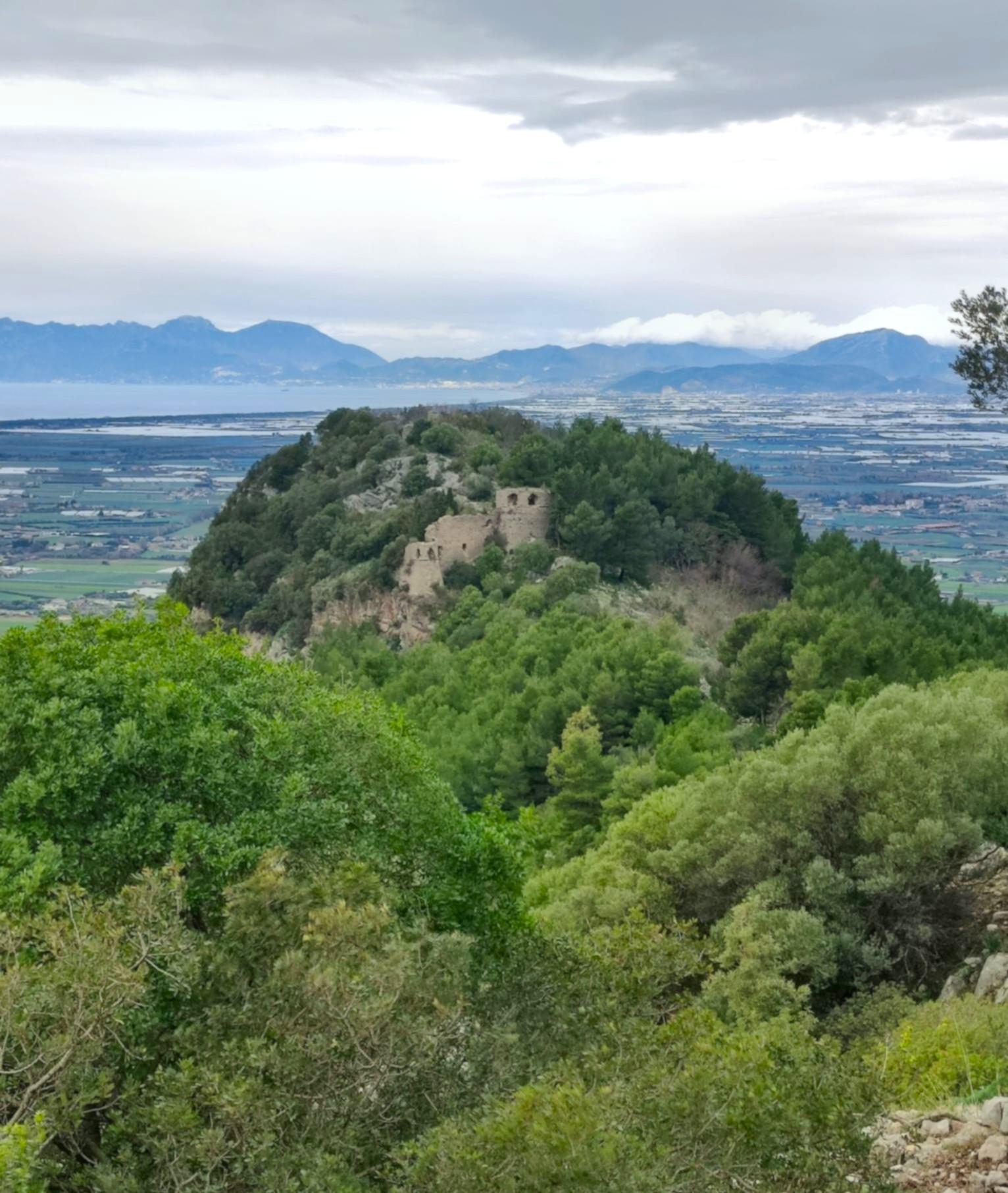
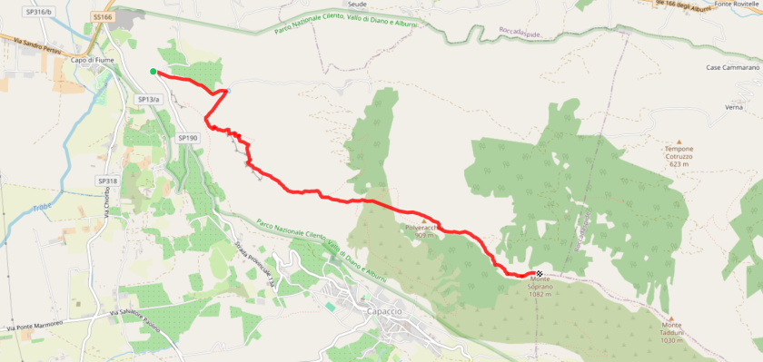
The route starts from the Sanctuary of the Madonna del Granato (243 m, 10th century AD), built on the site of an ancient temple dedicated to Hera Granata, a symbol of fertility. The sanctuary can be reached from Salerno by train or SITA Sud bus, and is connected by local buses. The trail follows CAI path 410, climbing along the ridge up to Monte Soprano, a natural viewpoint over the gulf and the Calore valley. The hike begins on an asphalt road in the Crispi area until a fountain on the right (the only water source along the route), then turns onto a stepped mule track. After 500 meters of ascent, a short detour on the right leads to the ruins of Capaccio Castle on Mount Calpazio (site of the 1246 conspiracy against Frederick II), overlooking the Paestum plain from Punta Campanella to Punta Tresino.
Returning to the main path, the trail continues through limestone walls similar to those of the Alburni mountains, alternating between scrubland and rocky pastures. On the flat summit area, beyond a clearing and the forest on the slopes of Monte Polveracchio, you reach the 909 m peak with views over Capaccio, Trentinara, the Sele plain, the gulf, and Capri. From here, path 456 on the right leads toward Capaccio Capoluogo. Continuing toward Monte Soprano, you cross a small woodland and walk on a gentle ridge known as the “Dorsale delle Cento Conche,” characterized by large rock slabs. The summit (1082 m), marked by a stone cairn and a summit logbook, offers a 360-degree panorama over Monte Sottano, Capaccio, the sea, and the Alburni massif.
Variation
The ridge traverse can continue toward Matadduni (1030 m) with mild ups and downs. The view stretches from Trentinara on the right to Roccadaspide on the left, and further to the villages of Postiglione, Controne, Castelcivita, Ottati, Sant’Angelo a Fasanella, and Corleto Monforte, as far as Cocuzzo delle Puglie, Monte Motola, and nearby Monte Vesole. The ridge trail then bends right, descending to the Trentinara pass (1027 m), requiring an additional 200 m of elevation loss and about 2 hours of walking.